Maps and books
Stock: In Stock
Model: 16004
Detalii tehnice:Scara 1: 120,000Verificata de GPSMarime- impaturita 12.3 x 22.5 cmMarime- intinsa 100 x 70 cmlanguage - bulgarianInclude harti detaliate ale fortaretei din Perperikon si ale complexului cultural tracic din apropierea satului Tatul Contine:Informatii, fotografii&nb..
1.84€
Stock: In Stock
Model: 16005
Scale 1:50 000, verified with GPS, includes part of Etropolska, Zlatitsa-Tetevenska, Troyan and Kalofer MountainsSize folded - 12.5 x 23.3 cmSize unfolded - 102 x 72 cmContains:Information about the Central Balkan National Park - relief, climate, flora and fauna; Reserves, waterfalls and caves; Mona..
1.84€
Stock: In Stock
Model: 20171
Scale 1:100 000Verified by GPSSize - folded 12.3 x 22.3 cmSize - unfolded 100 x 70 cmContains:Information about Pirin National Park: Relief, Climate, Plant and Animal World (in Bulgarian and English)Tourist routes, starting pointsBand and pole markingsCottages; Shelters; Tourist bases, homes and bed..
1.84€
Stock: In Stock
Model: 16000
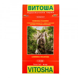
Scale - 1:25 000 for Vitosha Mountain and 1:40 000 for the Lozen MountainsSize folded 13 x 23 cmSize 100 x 70 cmContains:- information on how to get to Vitosha (lift, buses, routes, trains)- tourist routes- chalets and shelters- information about "Vitosha Nature Park", the distances between the town..
1.84€
Stock: In Stock
Model: 16007
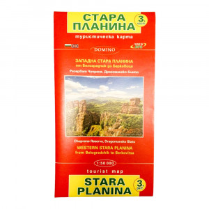
Scale 1:50 000Verified by GPSIncludes: part of the Stinikolsko, Shiroka, Yazova, Chiprovska and Berkovska Stara Planina Mountains; Koznica; Ponor and Mala planina; Three earsSize - folded 12.5 x 23.3 cmSize - unfolded 102 x 72 cm Contains:Information about Western Stara Planina: relief and peak..
1.84€
Stock: In Stock
Model: 16008
Scale 1:50 000Verified by GPSIncludes: the Koznitsa Stara Planina Mountains; Vratsa mountain; Ruzhana; Ponor; Big Mountain and Mala Mountains; Sofia Mountain; Murgash; Etropal Mountain; Vesulet ridge and the Gola Glava and the Lakavishza Ridge of the Pre-BalkanSize - folded 12.5 x 23.3 cmSize - unfo..
1.84€
Stock: In Stock
Model: 16006
Scale 1:50 000, checked with GPS, includes - part of the Kalofer, Shipka, Tryavna and Eleno-Tvrdishka Stara Planina Mountains; Map of AEK "Etar" and AE "Bozhentsi"Size folded - 12.5 x 23.3 cmSize unfolded - 102 x 72 cm Contains:Information about Central Balkan National Park and Bulgarka Nature ..
1.84€
Stock: In Stock
Model: 16002
Scale 1:50 000Verified by GPSSize - folded 12.3 x 22.3 cmSize - unfolded 100 x 70 cmContains:Information about Pirin National Park: Relief, Climate, Plant and Animal World (in Bulgarian and English)Tourist routes, starting pointsBand and pole markingsCottages; Shelters; Tourist bases, homes and bedr..
1.84€
Stock: In Stock
Model: 16001
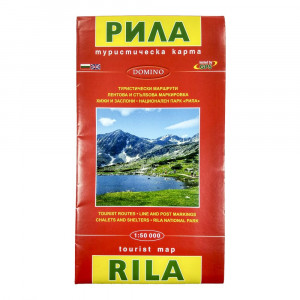
Scale 1:50 000Verified by GPSSize - folded 12.3 x 22.5 cmSize - unfolded 100 x 70 cmLanguage - bulgarian Contains:Information about Rila National Park: relief, climate, flora and faunaTourist routesBand and pole markingsAccommodation, shelters: chalets, hotels, tourist bedrooms and shelters: te..
1.84€
Stock: In Stock
Model: 16003
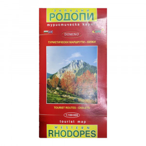
Scale 1: 100,000Verified by GPSSize - folded 12.3 x 22.3 cmSize - unfolded 100 x 70 cmLanguage - bulgarianContains:Information about Rhodope Mountains and the Western Rhodope massif: relief, climate, flora and faunaTourist routesBand markingCottages; Tourist bedrooms, training centers and complexes;..
1.84€
Showing 1 to 10 of 10 (1 Pages)


-300x300.jpg)
-300x300.jpg)
-300x300.jpg)
-300x300.jpg)
-300x300.jpg)
